Pet Waste Service Route Planning: A Practical Guide
Plan pet waste service routes around property layout, high-use areas, access, and visit frequency. Use practical checklists to set and review coverage.
Good pet waste service route planning starts with the way people and pets use a property, not with a generic route template. The plan should identify included areas, access points, disposal locations, visit frequency, and how the property will flag a concern. Clear details help both the property team and service provider understand what a visit is meant to cover.
Discuss your property’s service needs
What Should a Pet Waste Service Route Cover?
Start by listing every outdoor area where a resident, guest, or pet might reasonably expect service. A home yard may need one consistent sweep of the usable lawn. An apartment community, HOA, or other shared property may have multiple buildings, paths, landscaped pockets, and pet relief areas. The route description should be specific enough that two people can point to the same service boundary.
Do not rely on a phrase such as “all common areas” without defining it. Note whether the service includes lawn strips beside walkways, perimeter areas, courtyards, or designated relief spaces. Also list excluded locations, such as private patios, fenced grounds, or a section maintained by another vendor. These boundaries help avoid mismatched expectations later.
- Shared-use areas: List lawns, paths, courtyards, and pet relief areas residents can access.
- Likely collection points: Note path edges, building exits, landscaping pockets, and corners where dogs tend to pause.
- Access details: Identify gates, locked sections, check-in steps, posted rules, and time restrictions.
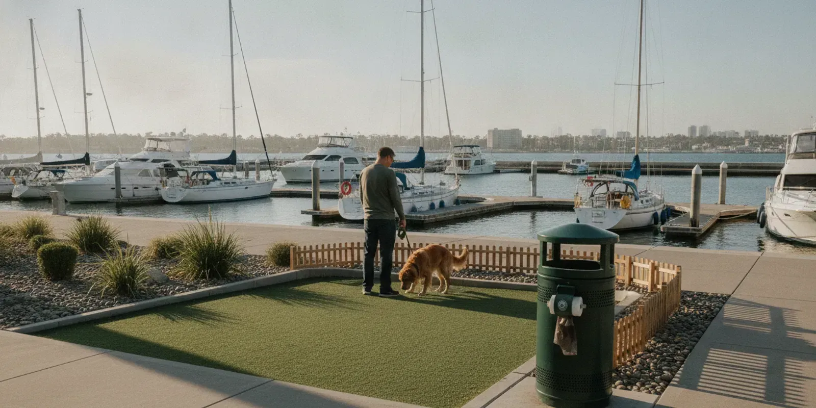
- Disposal: Mark dog waste stations and receptacles, and confirm which bins may be used.
- Exceptions: Record construction, temporary closures, hazards, and spaces outside the service scope.
For a multifamily site, a commercial pet waste cleanup plan should account for shared spaces and the property’s operating needs. A small, out-of-the-way lawn can still matter if residents use it every day. Put it on the map rather than assuming it will be obvious during a visit.
How Do You Map the Property Before Setting a Route?
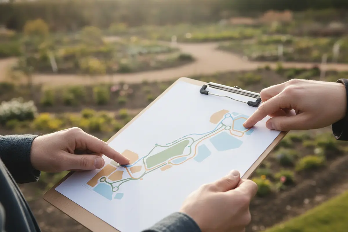
Use a current site plan if one is available, then walk the grounds. A drawing may not show a newly added path, a changed fence, a temporarily blocked gate, or the places where residents actually walk dogs. The walkthrough lets the property contact and provider compare the map with current conditions and agree on what the route includes.
- Draw the service boundary. Outline included grounds and mark excluded or restricted areas. If another party handles part of the property, label the handoff clearly.
- Mark entrances and exits. Show which gates can be used, whether a worker needs to check in, and who can resolve an access problem.
- Trace common movement. Follow paths from buildings to relief spaces. Mark shortcuts, path edges, and less visible corners rather than assuming pets stay in designated areas.
- Locate disposal points. Mark stations and trash receptacles, then confirm where collected waste belongs. If a bin is shared with other uses, clarify the property’s preference.
- Flag sensitive areas. Note playgrounds, gathering spaces, maintenance work, irrigation work, and any location where timing or route order matters.
- Review the draft together. Ask the provider to identify any unclear boundary or access instruction before the first scheduled visit.
 A route map does not need to be elaborate. A marked property plan plus a short note about access and service scope is often more useful than a long, ambiguous description. Add a date or revision note so the team can tell whether the document reflects a recent change. Keep sensitive details, such as gate codes, out of public-facing maps; share them only through the property’s approved process.
For a property with several buildings, label zones in a way staff already use. “East courtyard” or a building number may be clearer than an informal nickname. If names are not obvious on site, add a simple landmark or boundary to the map. Clear labels make reports about missed areas more actionable.
How Can You Turn Walkthrough Notes into Usable Instructions?
After the walkthrough, translate observations into short instructions a worker can follow without needing to interpret the property manager’s intentions. A useful note names the area, its boundary, how to reach it, and any exception that affects the visit. Keep operational details concise and tied to the map rather than burying them in a long email.
For example, a multi-building site might label three sections as Building A lawn, central courtyard, and west path edge. The map can show their boundaries and the access gate. The written instruction can clarify that the west path edge is included up to the marked fence, while a fenced resident patio is not part of the grounds to be serviced. If the courtyard is closed for landscaping, the note should identify the closure and the contact who can confirm when it reopens.
Check the instructions from the perspective of someone unfamiliar with the site. Can that person identify where a zone starts and ends? Is there a practical way to reach it? Does the note distinguish a permanent exclusion from a temporary closure? If not, revise the map or wording before service begins. A short, unambiguous route description is easier to maintain than a collection of assumptions passed along verbally.
Keep a record of the agreed version and share updates with the people who need them. When a change is made, state what changed, the effective date, and who confirmed it. This is especially useful when a boundary or access point changes but the rest of the route remains the same.
How Should Visit Frequency Fit the Property?
Frequency should reflect observed use, property expectations, and the service arrangement. There is no single schedule that suits every site. A small area with light use has different needs from a community with multiple relief areas and steady foot traffic. Start with the standard the property wants between visits, then discuss whether the proposed schedule is a reasonable match.
Before deciding, answer these questions with the property contact:
- How many distinct grounds or zones need attention?
- Which areas see the most pet use, and are there predictable busy periods?
- What condition does the property expect between visits?
- Do gate access, quiet hours, grounds work, or other operating needs limit the service window?
- Who will report a concern, and how will a requested route or schedule change be approved?
- Does the site need one ongoing maintenance plan, a one-time reset, or a discussion of both?
Review the schedule if use patterns change, complaints repeatedly point to the same location, or site operations create a new access constraint. A useful review is based on observations, not guesswork: note the location, date, and condition, then compare it with the route and timing. If waste has accumulated before regular service begins, compare the scope of a one-time cleanup with an ongoing route. A reset and recurring maintenance solve different planning needs.
Which Route Choices Affect Service Most?
The route order should make it possible to cover each agreed area without unnecessary backtracking. The best pattern depends on the layout and access. A compact property with connected paths may suit a simple loop. A spread-out site may be easier to describe as a series of zones. Whichever pattern is used, make the completion order understandable and make sure no included area depends on memory alone.
These are planning patterns, not promises about visit length or a particular service outcome. A route may combine approaches—for example, a zone sequence that begins near an access-limited gate. When stations are part of the property’s waste plan, include their locations and clarify what the service scope covers. The dog waste station planning information can help frame that discussion.
Disposal instructions deserve explicit attention. Anne Arundel County’s pet waste pollution reduction guidance addresses pet waste as an environmental management concern. For route planning, the practical takeaway is to identify designated collection points and confirm how waste should be handled at the site, rather than leaving disposal assumptions unresolved.
What Should Property Managers Share Before Service Begins?
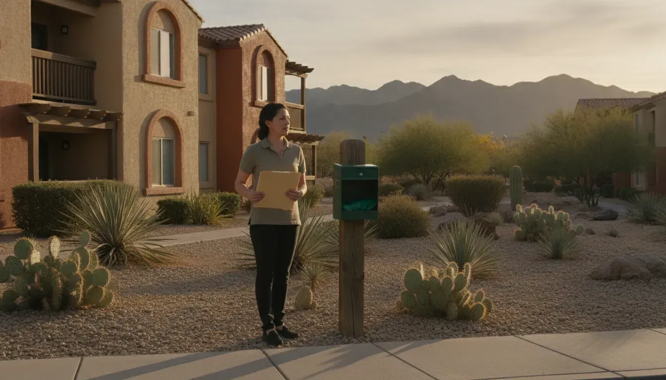
Useful information upfront reduces avoidable questions and gives both sides a way to check the agreed scope. Send a current map, list the included areas, and identify the person who can clarify access or report a concern. If the property has rules about parking, check-in, or particular service hours, include them in the instructions and make sure they match current operations.
- A marked site plan with included and excluded spaces
- Gate, entry, parking, or check-in instructions, shared securely when needed
- Locations of dog waste stations and designated disposal bins
- Known hazards, grounds work, or temporary closures
- The requested visit frequency and locations needing particular attention
- A property contact and preferred method for reporting an issue
- A clear process for approving changes to boundaries, access, or schedule
Ask the provider to confirm the agreed scope in writing. Use consistent zone names on the map, in instructions, and in follow-up messages. “North lawn” is only useful if everyone knows which lawn that means. If the provider uses a different label, agree on one description and update the map rather than keeping parallel names.
It can also help to distinguish an access issue from a coverage concern. If a locked gate prevented entry, that is different from an accessible zone being missed. A clear reporting route allows the property contact and provider to identify what needs attention without confusing the two situations. For general account and scheduling questions, consult the service FAQs.
How Can You Review Whether the Route Is Working?
Evaluate the result against the plan, not just by asking whether a visit occurred. Walk the grounds periodically, note recurring trouble spots, and compare those observations with the route map. A pattern in one corner may point to an unclear boundary, difficult access, a change in use, or a zone that needs a different place in the sequence. The observation is a prompt to investigate, not proof of a single cause.
Use a simple, repeatable review:
- Record the observation. Note the date, location, and what was found. “Waste near the west path after Tuesday’s visit” is more useful than “the grounds were missed.”
- Check the map and scope. Confirm that the location is included and that the label on the report matches the property map.
- Check access and timing. Ask whether a closed gate, work crew, event, or other constraint affected the route.
- Look for a pattern. One isolated issue may need clarification; repeated observations at the same site may justify revising route instructions or reviewing the schedule.
- Agree on the next step. Identify who will update the map or instructions and when the change should take effect.
Keep the map and instructions current when landscaping, construction, fencing, or resident use changes. Share the update before a visit where possible, and make sure the revised boundary is clear. If a location is temporarily unavailable, note both the closure and the expected way to resume coverage once it reopens.
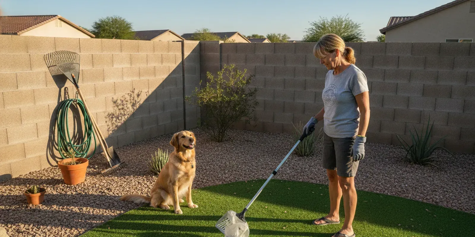
 The same planning logic can apply to a private yard on a smaller scale: identify the area to be covered, ensure the gate can be accessed, and communicate changes. The
dog poop service guide explains common considerations for pet owners. For shared grounds, the
multifamily pet waste management guide offers related planning context.
What Route-Planning Problems Should You Avoid?
- Vague scope: “All common areas” can mean different things. List the actual grounds and exclusions.
- Outdated maps: A new fence, path, or construction zone can make old instructions unreliable.
- Unclear disposal direction: Confirm which receptacles are designated for collected waste.
- Ignoring resident movement: Include practical routes and shared-use spaces, not only the most visible lawn.
- Unassigned follow-up: Decide who receives reports and who can approve route changes.
- Assuming the same route fits every property: Layout, pet use, and entry conditions differ from site to site.
- Changing the schedule without a review: Reassess coverage when property conditions or expectations change.
A practical route is a shared operating description, not just a line drawn on a map. It should make the boundary, sequence, access, disposal, and reporting process clear enough to use. The community pet waste solutions guide provides additional context for organizing shared-property needs.
Frequently Asked Questions
Does every property need a route map?
A small home yard may not need a formal drawing, but larger or multi-building properties can benefit from a map. Even a basic sketch can clarify included areas, gates, stations, and spaces outside the service boundary.
Should service start at the busiest area?
That can be a reasonable option when a property has a clear priority area, but it is not automatically best. Access, route flow, and the need to cover every agreed zone should guide the order. The plan should also state how the remaining areas are checked.
How often should a route be reviewed?
Review it when the property layout, access, pet use, or service expectations change. Periodic walkthroughs can also reveal whether repeated concerns are tied to a particular zone or unclear instruction. Keep the map aligned with any agreed updates.
Can dog waste stations be part of a service plan?
Stations can be included in the property’s planning discussion. Clarify whether station locations and upkeep are within the agreed service scope instead of assuming they are included. Also confirm the intended disposal location.
What information makes a missed-area report useful?
Include the date, specific location, and a brief description of the concern. If possible, use the same zone name shown on the site map. Specific details help the property contact and provider compare the report with the agreed route and identify a practical next step.
Plan a Route That Fits the Property
Contact A1 Pet Maintenance about your property
A clear map, realistic schedule, and shared understanding of access make pet waste service easier to coordinate. Start with the spaces people and pets use, then review the route as the property and its needs change.
| Route pattern | May fit when | Confirm before using it |
|---|---|---|
| Single loop | The property is compact and paths connect the service areas. | Where the loop starts and ends, and whether enclosed spaces can be missed. |
| Zone-by-zone sweep | The property has multiple buildings or separated grounds. | Zone boundaries, labels, and the order in which each zone is checked. |
| Priority area first | A known high-use relief area needs clear attention. | Which area is prioritized and how the remaining agreed areas are covered. |
| Access-window route | Gates, check-in steps, or operating hours constrain entry. | Available access times, entry instructions, and who to contact if entry fails. |